Overview
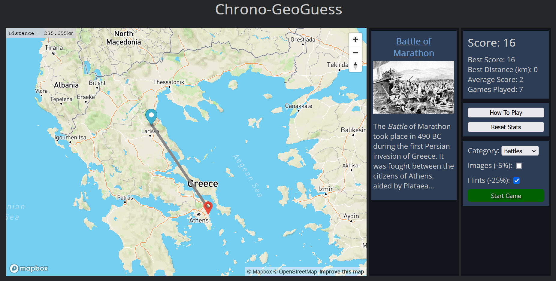
I created a game similar to GeoGuessr, a game where they give you a single image and you have to use that to figure out where on the map the image was taken. My game works on a similar premise but instead of a random image I use historical events. The idea is that you are given the name (and optionally an image and/or hint) of a historical event that is on wikipedia and you have to put a marker down on the map at the location where you think that event occurred.
I built this by pulling a list of historical events from the Wikipedia API using a keyword like this (The “incategory%3ACoordinates_on_Wikidata” part of the search ensures that I am getting a wiki page that has coordinates attached). I then pick one of the events from the list and use the page id to get the coordinates of the event like this. I can use a similar process for getting the image from the page. I then plug that in to the mapbox API to get a working map where you can place a single pin down for your guess. The mapbox API has a feature for calculating the distance between points and I use that to calculate a score and then I then save it (along with the other stats) into local storage.
My Role
I was the designer and sole devloper for this project.